 |
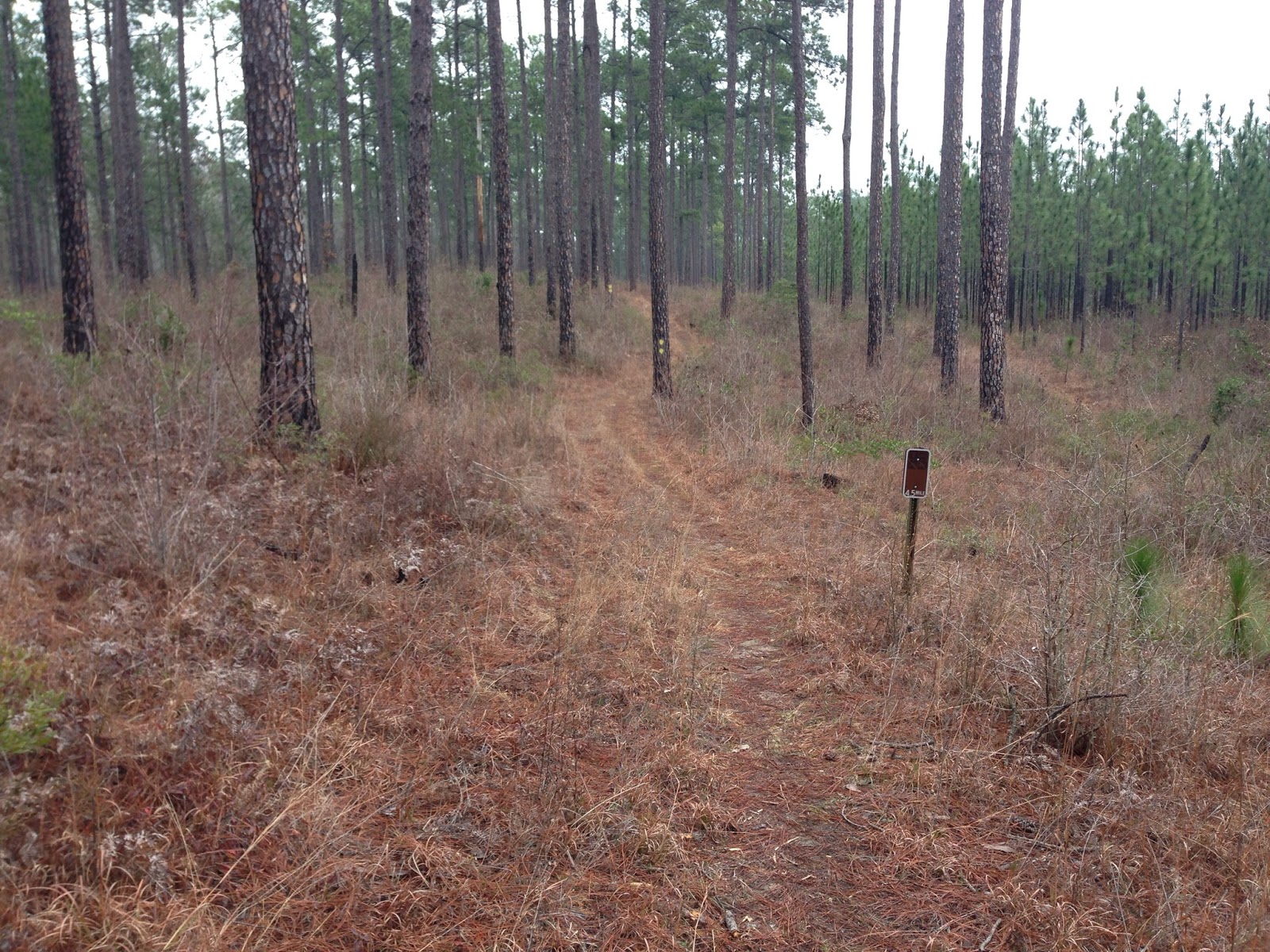
| Early doubletrack climb on the WAT |
 |
| Leafy trail, but easy to follow |
I had a great day on the bike and loved the loop. The LA woods are pretty special to me and this ride was full of them. It had everything from tough climbs, to fast downhills, flowy singletrack, doubletrack, rough sections and a few hike a bike climbs. My new BMC was great, climbing well and riding smooth. My stomach also held up very well for the whole ride. I ate a Skratch Labs rice cake every hour, a Clif Shot Blok or two between them, and a banana at about 3.5 hours. I drank mostly water from my Camelbak, but I did have one bottle of Skratch drink mix that I sipped throughout the day. I think I needed more Skratch mix but that's all I had, so next long ride I'll be better prepared. "Gut rot" has usually been my undoing on rides over about 3 hours, but I seem to be figuring it out, finally.
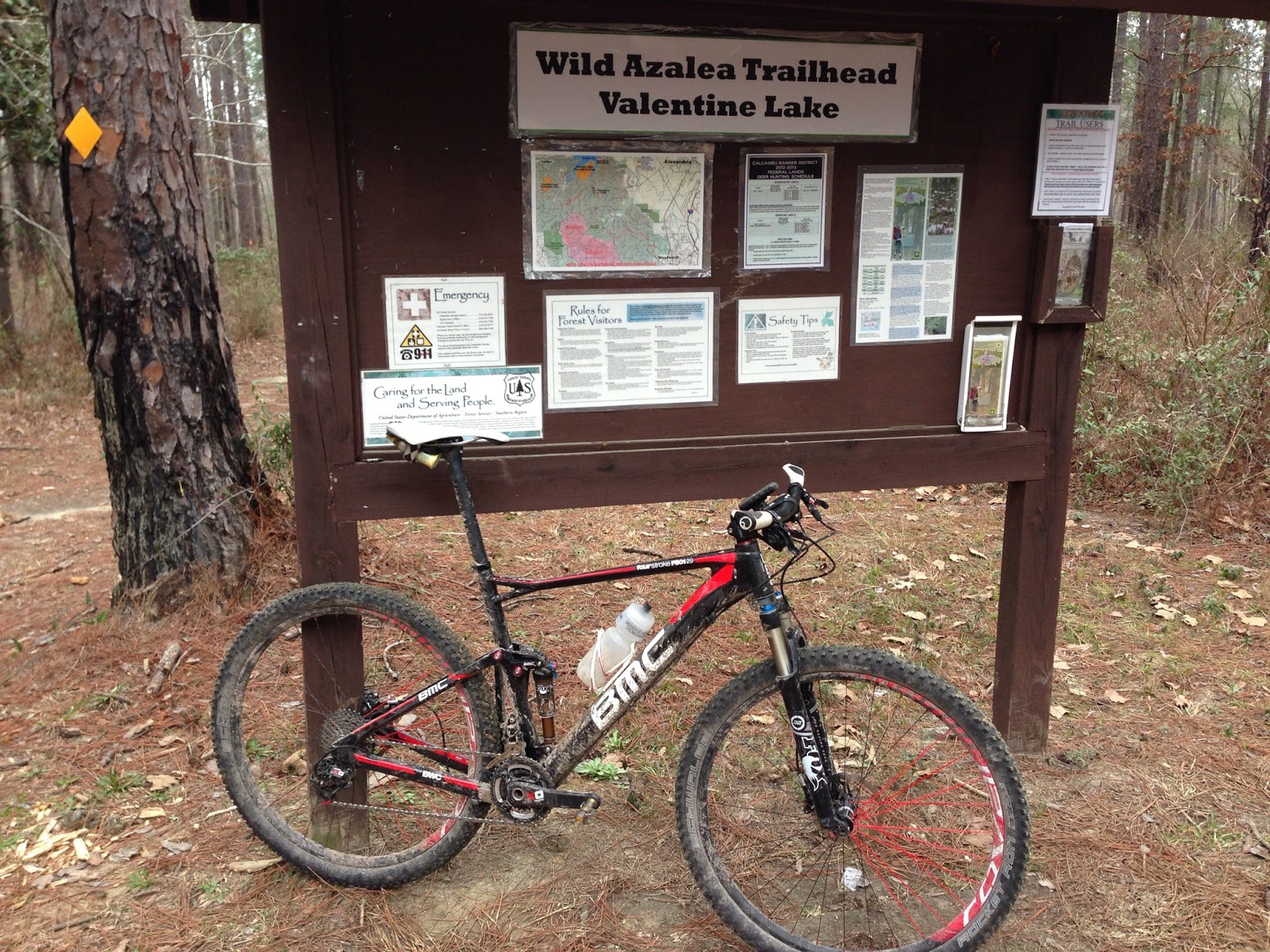 |
| At the trailhead after the ride |
Besides several stops to check the map and the wrong turns we took, Lynn was also having trouble with his chain coming off his chainring all day, so we had to stop a lot to fix that. I didn't mind, it's just worth noting in our elapsed time.
Here's a recap of the route, if you're interested and for my own reference:
We started at the Valentine Lake Recreation Area trailhead and rode east on the WAT. This section is generally fast & wide singletrack with a little doubletrack mixed in and a few rolling climbs. About 7 miles in we intercepted the Kincaid Loop trail that circles the Kincaid Lake Recreation Area and rode that loop clockwise. This loop follows the lake shore, and has some small ups and downs but is generally fast and smooth. We got a little mixed up at the end of this loop, but finally found our way onto the Lamotte Loop which took us east along the lake, then we made our way back down to the WAT away from the lake and continued east. There is a parking area on Messina Rd. where the trail crosses which will make a great aid-station/checkpoint for the race. We crossed Messina and continued east on the WAT until the next parking area at Messina Rd. and State Route 488/Twin Bridges Rd. Here we went east on 488 for a little under a mile and then turned right onto Forest Route 287/Castor Plunge Rd. I believe the race course will head south from this intersection down Messina Rd., take a left on Hamp Smith Rd. then continue south on 287 as we did (this will be a lot better as 488 has no shoulder and does have a bit of traffic). After about 4 miles on 287, we intersected the WAT and turned onto it headed southeast towards the Woodworth trailhead. This section was pretty fun with some nice flow and good climbs. The Woodworth trailhead is right on 287, which we took back to the north to intercept the trail again. We missed the intersection so we had to turn around to find it, adding about 3 miles to our ride. We turned off 287 and headed west on the WAT. This section started with a fast, really fun downhill, but then turned out to be the toughest section of the day. There was some slow going through here with lots of time spent in bottoms that were a bit wet, but still mostly rideable. There were also a few technical root sections that required finesse and crawling along. This section was 8 miles long and did have some really fun sections in addition to the tough stuff. This brought us back to the Messina/488 intersection and we headed north on Messina. This took us to the Kincaid Lake East Boat Launch, where there is a trailhead that heads south towards the WAT. This trail is about 6 miles long and is a LOT of fun and a great payoff for all the hard work to get there. It has some short, steep and tough climbs but flows very well overall. It ends at a big wooden bridge over the lake, which we crossed and then turned left to head south and intersect the WAT. When we got back to the WAT we turned right headed west and continued all the way back to the Valentine Lake Trailhead the way we had started.
Our total mileage was 64.9 miles, negating our extra mileage from missing turns would have been 60.75 miles. This will make a great marathon race course, I can't wait to see the event come together.
Having gotten some good long rides in now I feel like it's time to start some XC racing to start sharpening my top-end speed and fitness. I think that will start with Waco this weekend, back to Comfort next weekend, and then a full weekend of fun at Mellow Johnny's. Then I'll go back to a build phase getting a few more long rides in before the Double Lake race, and finally taper down to hopefully have a great Ouachita Challenge race!